- Tripoli, Sunday, 17 th of December, 2023.
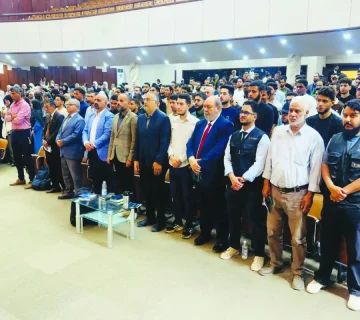
The morning of Sunday, December 17, 2023, witnessed the launch of the first specialized training session organized by the General Information Authority in the Ras Hassan area.
The session focused on the updates of “Esri” geographic information system software licenses and the installation mechanisms on the unified platform for municipal geographic data, the title of the session was “Developing and transferring knowledge for modern technologies in the ArcGIS Pro and ArcGIS Enterprise programs,” with the participation of 9 trainees from the Geospatial Information Systems department at the Authority.
This initiative falls within the framework of the collaboration between the Authority and the Environmental Systems Research Institute (Esri) in North Africa, aiming to enhance the geospatial information capabilities of the Authority’s systems.
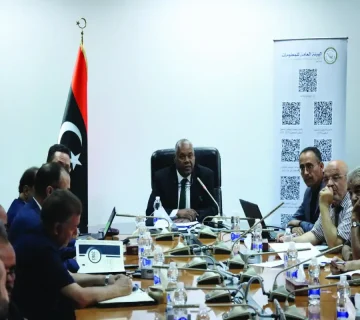
The activities of this session were inaugurated with a welcoming speech presented by Mr. Adel Sabehi Abu Abdullah, the administrative and financial commissioner of the Unified Electronic Geographic Data Portal project for municipalities, in his speech, he welcomed the expert Abdel Halim Ibrahim, a technical consultant at Esri North Africa, and the trainees in the course, reviewing the efforts and steps taken by the authority in the context of its interest in geographic information systems. He emphasized the necessity and importance of such courses that contribute to enhancing the skills and capabilities of employees and the developments and new programs in this regard.
The aim of this course, which lasts for ten days, is to introduce participants to the updates of the ” Esri” geographic information system software licenses and their uses, and to build their capabilities and develop their skills in areas related to the use of these licenses and the mechanisms for installing them on the unified portal for geographic data in municipalities.
The program of this course includes theoretical lectures and practical applications, contributing to enhancing the technical capabilities of participants in the field of presenting data on the unified platform for geographic data in municipalities.